Glodon BIM GMA2026
Glodon BIM GMA2026 is built on an independent graphics platform ,features AI-powered renovation and new construction integration. It focuses on municipal construction, campuses, and community pipeline networks (renovation and new construction of water supply and drainage systems), urban roads and municipal expressways (expansion, renovation, and new construction of dead-end roads and bottleneck sections), earthworks (grid/triangulated network, trenches, foundation pits, and roadbeds), landscaping, paving, and other related businesses. The software enables multi-disciplinary collaborative quantity takeoff with intelligent deduction. It also incorporates regional standards across various locations for automated configuration.


Area Recognition
Utilize internal point or boundary line recognition to quickly identify hard-to-calculate manual areas like pavement surfacing enclosed by CAD lines, and rapidly layout irregular road surfaces and paving. Use fill recognition to batch-identify landscaping areas with one click, significantly improving efficiency compared to manual tracing.

Batch Cross-Section Recognition
Rapidly identify all roadbed cross-sections and longitudinal section drawings in road projects to quickly create a 3D roadbed model and calculate earthwork quantities.

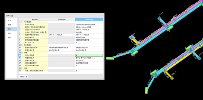
Pipeline Network Plan & Profile Recognition
Batch recognize pipeline network plan drawings and extract longitudinal profile data with one click, reducing tedious manual data entry. Features real-time data checks to prevent calculation errors caused by missing items or misaligned rows.

Demolition Area Layout
The system automatically identifies trench and foundation pit widths, allowing rapid layout of pavement removal zones by simply defining widths on both sides of the pipeline. This significantly improves efficiency in demolition area planning.

Automatic Generation of Trenches and Foundation Pits
Rapidly generate 3D models of foundation pits and trenches based on manholes and pipelines with a single click. Supports multi-tier trenches and multi-layer backfill settings, automatically deducts volumes occupied by roadbeds, pipes, and manholes, and accurately calculates earthwork quantities for pipeline networks.

Automatic Calculation of Overlapping Trenches Quantities
The software automatically determines whether earthwork are shared or overlapping trenches based on configured calculation rules, precisely considering earthwork deduction.
Grid Earthwork
Quickly constructs 3D earthwork models based on various data formats such as DAT/TXT coordinates, scattered point elevations, and grid networks. Requires no data pre-processing, restores the landform, and generates earthwork quantity reports with one click.

AI-Powered Plant Recognition
Rapidly extracts various plant symbols from drawings and automatically populates data by recognizing plant schedule information. Intelligently categorizes and recreates components with a single click, while automatically calculating quantities. Complete quantity calculation for a landscaping project within 5 minutes.